Projects
We combine environmental, ecological and genomic tools. Here are some of our current projects, publications, tutorials or field reports.
Featured

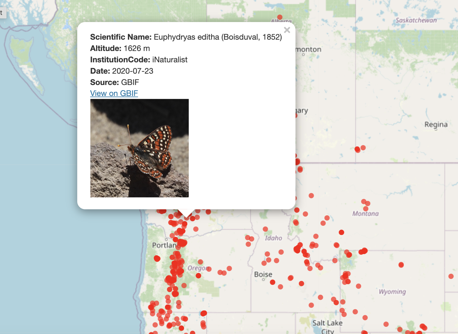
GBIF interactive map
Extract occurences from GBIF, get elevations and make maps
Extract occurences from GBIF and make an interactive and pretty plot. It can include photo thumbnails or any data you wish to add. Project started by Edgar Signe (intern Brest University, France)